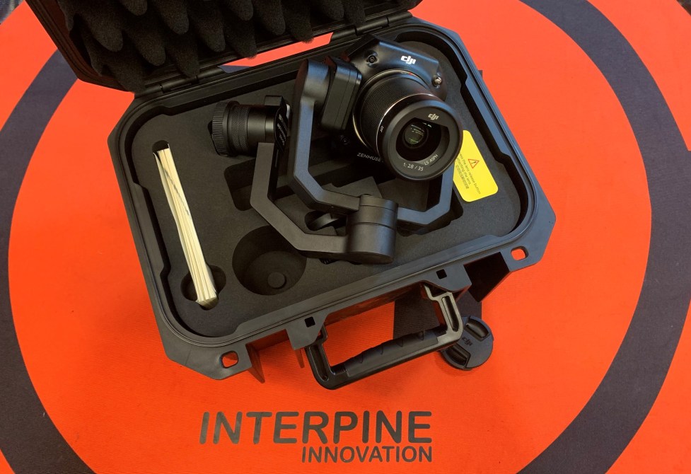
To complement the drone services team we have recently purchased the DJI Zenmuse P1 Full-frame Aerial Survey solution for our DJI Matrice 300 RTK. The Zenmuse P1 integrates a full-frame sensor with interchangeable fixed-focus lenses on a 3-axis stabilized gimbal. Designed for photogrammetry flight missions, it takes efficiency and accuracy to a whole new level for our clients. This unit enhances drone UAV services providing a glimpse that the future is now as we continue to shape the forests of today with the technology of tomorrow.
From the air;
- the P1 includes a full-frame, low-noise high-sensitivity sensor that can take a photo every 0.7 s during the flight and can cover 300ha in a single flight of the Matrice 300 to a GSD of 3 cm, with a 75% front overlap rate and a 55% side overlap rate. This is a significant leap forward in terms of flight coverage, but also resolution. Maybe we don’t need that level of resolution but need efficiency in increasing the overlap parameters for forest conditions while achieving greater survey areas in less time. The P1 stands out from the crowd in getting more done in the workday.
- equipped with a global mechanical shutter and the all-new TimeSync 2.0 system, which synchronizes time across modules at the microsecond level, lets us capture centimeter-accurate data combined with the real-time position and orientation compensation technology within the DJI Matrice 300 RTK. This means datasets are geolocated at a high level of precision with the need for time-consuming ground control points. Ground control can take significantly longer than any aerial survey, and removing this from the workflow, again enables bigger areas in a shorter time.
- while sometimes we want to cover larger areas, other times we need more detail. The 45 MP Full-frame Sensor means we have that choice, with our tree nursery surveys averaging 1.5-2.5mm GSD this is an example with this type of sensor is key.
- with the ability to improve oblique photography missions using Smart Oblique Capture, the gimbal automatically rotates to take photos at the different angles needed. Only photos essential to the reconstruction will be taken at the edge of the flight area, increasing the efficiency of post-processing by 20% to 50% while still enabling coverage of up to 7.5 km in a single workday with the P1 to a 3cm GSD.
In this example, we are collecting a high-resolution (2-3mm GSD) ortho-mosaic image of a containerized tree nursery for applying our smart deep learning algorithms for a complete 100% count of millions of seedlings across the tree stock nursery.
Examples of the resulting imagery and our machine learning detectors working to count the tree seedlings, as shown here in ArcGIS Pro.


Trackbacks/Pingbacks