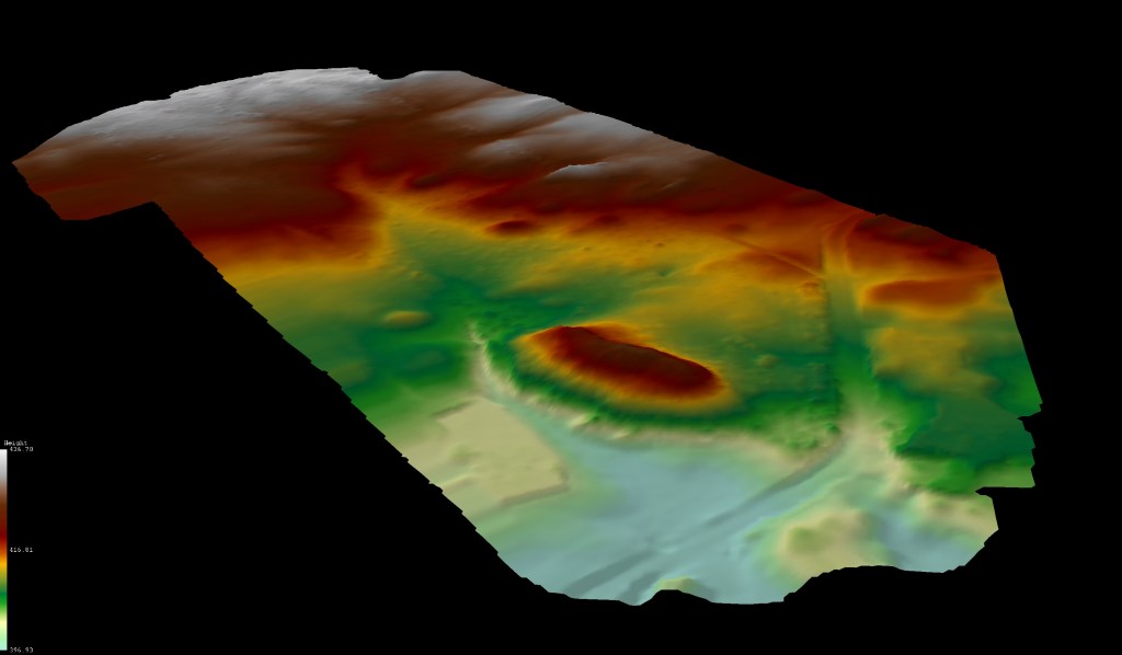
The benefits of lidar compared to photogrammetry for forestry applications is the capability for the laser to penetrate through the forest canopy, providing 3D detail of the ground profile, and creating a virtual twin of the forest structure. Here is an example of LiDAR from our drone captured over some tall native forest here in New Zealand. You can see the colorized point cloud and a couple of transect profile views showing the multiple returns penetrating down through the canopy.


Lidar continues its evolution as a forester’s tool and is becoming a reality at scale and efficiency for forest stand or woodlot inventory using drones. This data is collected with our DJI Matrice 300RTK UAV and is the latest drone-based LiDAR system developed by LiVox and DJI. This LiVox Avia sensor is combined into the DJI L1 Sensor with a 20MP Camera and high spec IMU.
LiDAR (light detection and ranging) is a scanning technology that actively surveys and measures the environment around it. Fitted to a drone, this provides a 3D model of the world within its reach. Here is a snippet of our drone fitted with the DJI L1 LiDAR sensor scanning the trees / forest around our office and the live 3D point cloud view (right side of the screen) provided to the pilots during data collection.
With this kind of data, the way we assess and measure forests changes. The opportunities for tracking individual trees over time become a reality.


